 Atlas of China
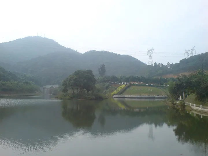
Maofeng Mountain Forest Park 帽峰山森林公园Màofēng Shān Sēnlín Gōngyuán
4A scenic area · Guangzhou, Guangdong
- Time needed
- Half a day
- Days to budget
- Half a day
- City
- Guangzhou
- Region
- Guangdong
- Type
- Nature
- Listed as
- 4A scenic area
About Maofeng Mountain Forest Park
Maofeng Mountain is a forested range in Taihe, northern Baiyun District, whose main peak is the highest in Guangzhou's old urban districts. A hiking route climbs past the old Maofeng Temple, said to date back to around the 10th century, a maple garden that turns red in November and Tianhu Lake to the summit, while Jiulongjian on the northern slope is a lake fed by mountain springs.
How to get to Maofeng Mountain Forest Park
In Taihe town, Baiyun District, about 30 km north-east of central Guangzhou, roughly 45 minutes by road.
Nearby
- Canton Tower & Pearl River 广州塔 20 km
A slim-waisted tower glowing over the Pearl River in China's Cantonese food capital
Also within 20 km: South China National Botanical Garden 华南国家植物园 (20 km), Shennong Caotang Museum of Traditional Chinese Medicine 神农草堂中医药博物馆 (20 km), Guangyu Ancestral Hall 广裕祠 (20 km), Jiulong Lake Resort 九龙湖 (20 km).
On the map
Open Maofeng Mountain Forest Park on the illustrated map to see the terrain around it and what else is close, and to add it to a trip.
Open Maofeng Mountain Forest Park on the map