
 An illustrated travel map
Dapo Pond 大坡池Dàpō Chí
Taitung, Taiwan
- Time needed
- 1 hour
- Days to budget
- Half a day
- City
- Taitung
- Region
- Taiwan
- Type
- Nature
About Dapo Pond
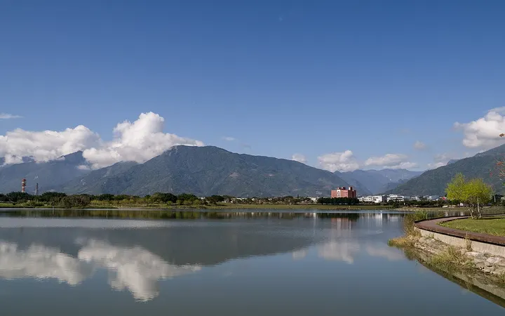
Dapo Pond is a natural lake in a fault basin in Chishang, in the East Rift Valley, at around 265 m above sea level. It covered about 56 hectares in 1910 and is now much smaller after drainage and reclamation. It was once counted among the ten scenic views of Taitung, the water reflects the Central Range on calm days, and it is now a waterside scenic area.
How to get to Dapo Pond
About 1 km south-east of Chishang railway station.
Nearby
Also within 20 km: Bunun Cultural Museum 布农族文化馆 (under 10 km), Guanshan Waterfront Park 关山亲水公园 (10 km), Amis Folk Center 阿美族民俗中心 (20 km), Chenggong Fishing Harbour 成功渔港 (20 km), Sanxiantai 三仙台 (20 km).
On the map
Open Dapo Pond on the illustrated map to see the terrain around it and what else is close, and to add it to a trip.
Open Dapo Pond on the map