 Atlas of China
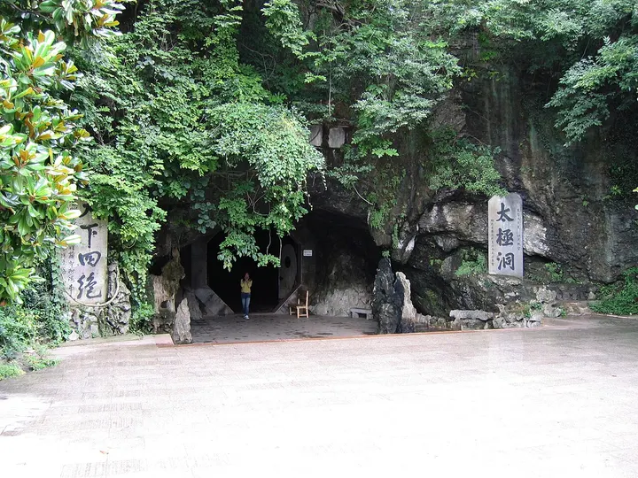
Taiji Cave 太极洞Tàijí Dòng
4A scenic area · Xuancheng, Anhui
- Time needed
- Half a day
- Days to budget
- Half a day
- City
- Xuancheng
- Region
- Anhui
- Type
- Nature
- Listed as
- 4A scenic area
About Taiji Cave
Taiji Cave is a limestone cave system in Shilong Mountain, 38 km north-east of Guangde near where Anhui, Jiangsu and Zhejiang meet; it is about 5.4 km long and was opened to visitors in 1986. The route passes through some 19 chambers of stalactites and flowstone on dry and water-filled levels, including a boat ride on the underground river, and Song- and Ming-era inscriptions survive in and around the cave. A cable car runs on the mountain outside.
How to get to Taiji Cave
About 38 km north-east of Guangde by road, near the Jiangsu and Zhejiang borders.
Nearby
Also within 20 km: New Fourth Army Jiangsu–Zhejiang Military Region Sites 新四军苏浙军区旧址 (under 10 km), Golden Spike Ancient World, Meishan 金钉子远古世界 (under 10 km), Yixing Bamboo Sea 宜兴竹海 (under 10 km), Qingqing Farm Estate 箐箐庄园 (10 km), Yunhu Lake Scenic Area, Yixing 宜兴云湖 (10 km), Taozu Shengjing Scenic Area 陶祖圣境 (10 km).
On the map
Open Taiji Cave on the illustrated map to see the terrain around it and what else is close, and to add it to a trip.
Open Taiji Cave on the map