
 An illustrated travel map
Penglai Waterfall 蓬莱瀑布Pénglái Pùbù
Yunlin, Taiwan
- Time needed
- 1–2 hours
- Days to budget
- Half a day
- City
- Yunlin
- Region
- Taiwan
- Type
- Nature
About Penglai Waterfall
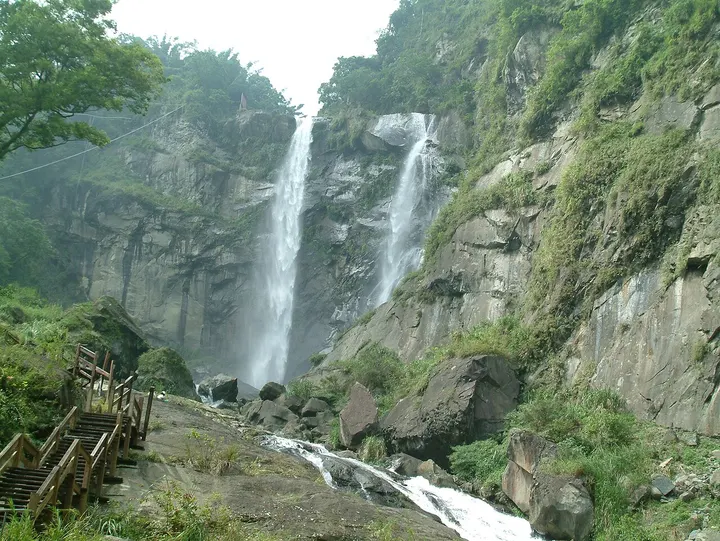
A waterfall of about 70 m east of the Caoling settlement, called the finest sight of Caoling, in a valley of the Zhuoshui River system. It is full in summer and thin in winter, when it looks like a bamboo pole, hence its other name. A paved path of about 15 to 20 minutes leads to a viewing platform below it; the old cable car has not run since the 1999 earthquake.
How to get to Penglai Waterfall
In Caoling, Gukeng, about 21 km south-east of Douliu railway station in a straight line.
Nearby
- Alishan 阿里山 10 km
Giant cypresses, a sunrise over Jade Mountain and a narrow-gauge forest railway - Sun Moon Lake 日月潭 40 km
Taiwan's largest lake, ringed by hills, temples and the home villages of the Thao people - Lukang 鹿港 60 km
A former trading port of Qing-era temples and winding alleys on the west coast
Also within 20 km: Jiao Lung Waterfall 蛟龙瀑布 (under 10 km), Fenqihu 奋起湖 (10 km), Xitou Nature Education Area 溪头自然教育园区 (10 km), Datong Soy Sauce Brewing Museum 大同酱油黑金酿造馆 (20 km), Honey Museum 蜜蜂故事馆 (20 km).
On the map
Open Penglai Waterfall on the illustrated map to see the terrain around it and what else is close, and to add it to a trip.
Open Penglai Waterfall on the map