 Atlas of China
Labahe & Mount Erlang 二郎山·喇叭河Èrláng Shān Lǎba Hé
4A scenic area · Ya'an, Sichuan
About Labahe & Mount Erlang
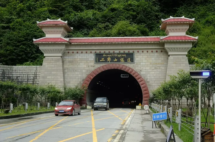
A forested river valley on the eastern side of Mount Erlang in Tianquan county, with trails and a cable car into the higher forest; the Labahe nature reserve here is part of the Sichuan Giant Panda Sanctuaries World Heritage Site. Mount Erlang (3,437 m) is the divide between the Qingyi and Dadu rivers; the Sichuan–Tibet highway (G318) crosses it, today through a tunnel.
How to get to Labahe & Mount Erlang
Labahe is roughly an hour by road west of Tianquan county town, which is about 40 minutes from Ya'an by expressway.
Nearby
- Kangding 康定 50 km
An old tea-trading town where Tibetan and Han cultures meet, made famous by a love song - Mount Mengding 蒙顶山 60 km
Misty tea terraces and an imperial tea garden where tea growing is said to have begun
On the map
Open Labahe & Mount Erlang on the illustrated map to see the terrain around it and what else is close, and to add it to a trip.
Open Labahe & Mount Erlang on the map