 Atlas of China
Laosicheng 老司城Lǎosīchéng
4A scenic area · National heritage site · Xiangxi, Hunan
- Time needed
- Half a day
- Days to budget
- Half a day
- City
- Xiangxi
- Region
- Hunan
- Type
- Heritage
- Listed as
- 4A scenic area, National heritage site
About Laosicheng
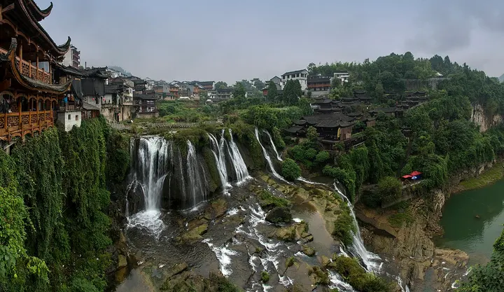
The ruined capital of the Peng clan, the Tujia chieftains (tusi) who ruled the Yongshun area from the 10th century until the Qing ended their rule in the 1720s; the walled city by the Lingxi River was their seat from the Southern Song onwards. Excavated palace and office quarters, streets, city walls, chieftains' tombs and temple sites survive, and the city has been one of the three Tusi Sites on the World Heritage List since 2015; a museum nearby explains the finds.
How to get to Laosicheng
In Sicheng village, about 20 km east of Yongshun county town by road; the Laosicheng Museum, about 4 km from the core of the site, is closed on Mondays.
Nearby
- Tianmen Mountain 天门山 50 km
A cliff-top walk to a natural arch known as Heaven's Gate, above the city - Zhangjiajie National Forest Park 张家界国家森林公园 60 km
Thousands of sandstone pillars rising out of the mist like a stone forest
Also within 20 km: Bu'ermen 不二门 (under 10 km).
On the map
Open Laosicheng on the illustrated map to see the terrain around it and what else is close, and to add it to a trip.
Open Laosicheng on the map