
 An illustrated travel map
Yongtai 永泰Yǒngtài
Camphor hills, waterfalls and earthen manors
About Yongtai
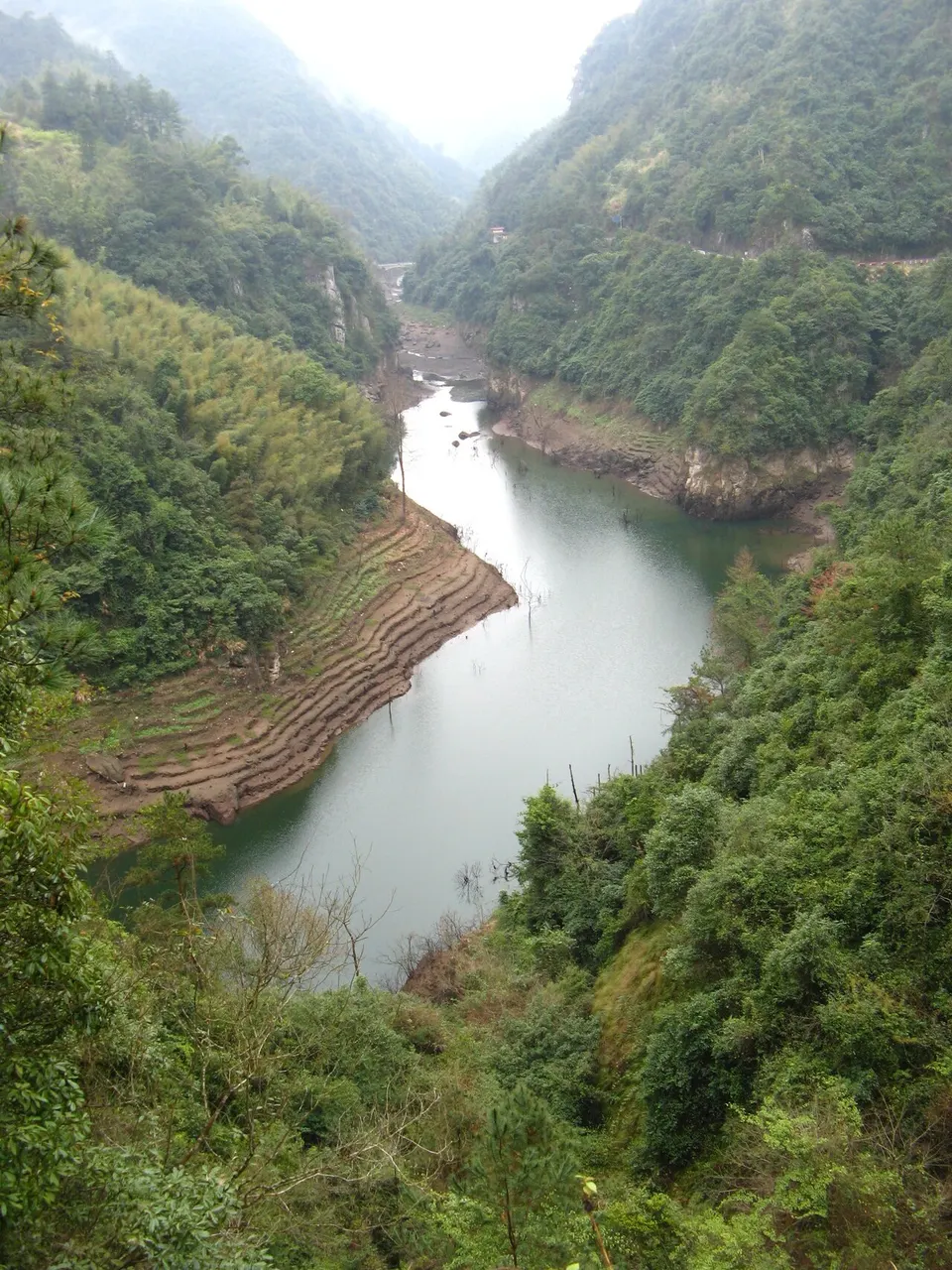
Yongtai lies in the mountains south-west of Fuzhou and takes its short name, Zhang, from the camphor trees that grow widely there. The county is known for Qingyun Mountain, Yunding and Baijigou Waterfalls, and for its zhuangzhai, fortified manors, listed as national heritage. Mingshan Shi Cave Temple, founded in 888, holds Buddhist carvings, and the clean mountain air has earned the county a natural oxygen bar designation.
Listed sites in Yongtai
6 sites in Yongtai are on the official lists. Those with a page of their own link to it; the rest open as cards on the map.
- Baijigou Waterfalls 百漈沟 4A scenic area · on the map
A gorge just over 1 km long in Wutong town, western Yongtai, named for the scores of waterfalls large and small that pour into it, with walkways cut along the cliffs through a sinkhole-like canyon. - Oulebao Ocean World, Yongtai 欧乐堡海洋世界 4A scenic area · on the map
A marine theme park in Geling town with aquarium halls of sea and polar animals, several theatres for staged marine-animal shows, and a water park next door. - Qingyun Mountain 青云山 4A scenic area · on the map
A national key scenic area of deep gorges cut into volcanic rock in Linglu township, south of Yongtai town, made up of sections such as the Yuntian stone corridor, Baima Gorge, Shuilian Palace and Qinglong Waterfall, each with trails past cascades, pools and cliffs. - Yunding Scenic Area 永泰云顶 4A scenic area · on the map
A mountain-top scenic area on the summit plateau of Qingyun Mountain in Linglu township, most of it above 1,100 m, opened in 2010. - Mingshan Shi Cave Temple 名山室 National heritage site · on the map
A Buddhist cave temple on Gaogai Mountain in Dayang town, founded in 888 and given its name by the Min king in the late 920s, with timber halls built into a series of rock caves. - Yongtai Fortified Manors (Zhuangzhai) 永泰庄寨 National heritage site · on the map
Five Qing-dynasty fortified family compounds, known locally as zhuangzhai, in Yongtai's mountain villages, each a large timber-built residence covering roughly 3,000 to 10,000 m².
Getting to Fuzhou
Train, flight and driving times from the cities most visitors come from, with stations, fares and how many run a day; each opens the full comparison.
On the map
Open Yongtai on the illustrated map to see its outline, its places and listed sites together, and to add them to a trip.
Open Yongtai on the map