 Atlas of China
Baiyin 白银Báiyín
Copper mines, sheepskin rafts and a Ming 'Turtle City' on the Yellow River
About Baiyin
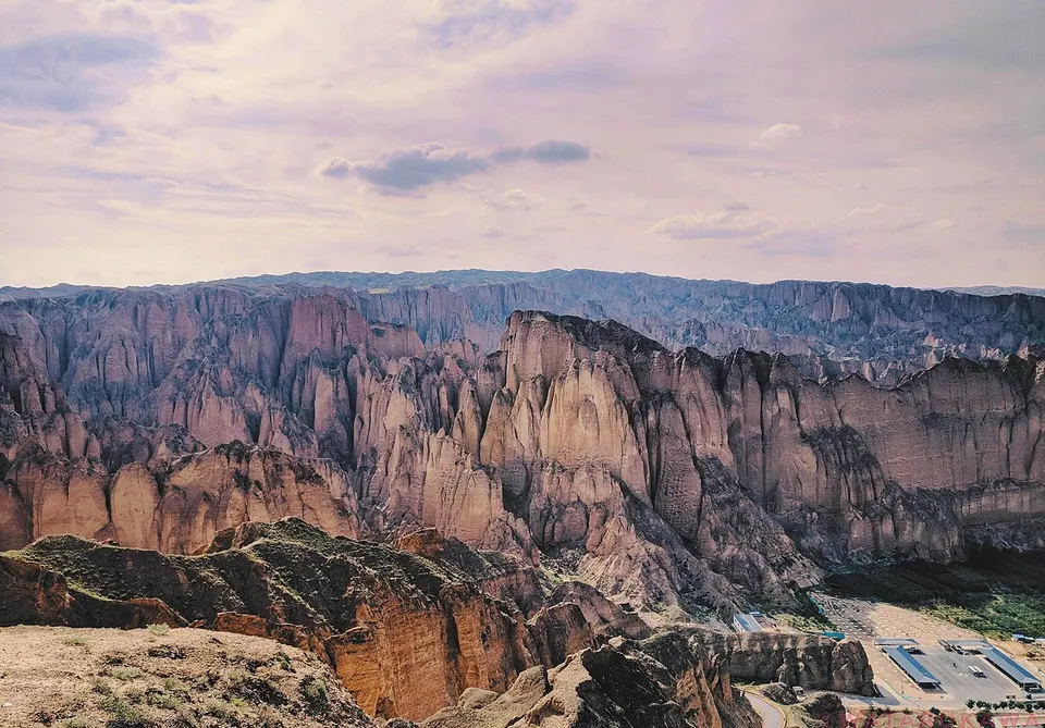
Baiyin takes its name from a silver-mining office the Ming set up here, and the modern city grew from the 1950s around copper mines, earning it the name 'copper city'. The Yellow River winds through the prefecture: at Jingtai it has carved the conglomerate pillars of the Yellow River Stone Forest, explored on foot and by sheepskin raft, and the earthen walls of Yongtai Fortress still enclose a village. Red Army columns met at Huining in 1936, near the end of the Long March.
What to eat in Baiyin
- Jingyuan lamb (靖远羊羔肉)
Listed sites in Baiyin
6 sites in Baiyin are on the official lists. Those with a page of their own link to it; the rest open as cards on the map.
- Daping Fengyuan Flower Park 大坪凤园花海 4A scenic area · on the map
A flower park in the Daping agricultural park at Shuichuan, south-east of Baiyin city, opened in 2018, where beds of verbena, Iceland poppies, petunias and other flowers are laid out in the shape of a phoenix. - Huining Red Army Reunion Site 会宁红军会师旧址 4A scenic area · National heritage site · on the map
In October 1936 the Red Army's First and Fourth Front Armies met at Huining during the closing stage of the Long March, and the protected site in the centre of the town preserves the Huishi gate tower, the venue of the joint celebration meeting and the former headquarters of several Red Army commands. - Shuian Sanhe Scenic Area 水岸三合 4A scenic area · on the map
A riverside leisure park of about 47 ha on the Yellow River at Sanhe village, Dongwan, that combines farm and flower displays with a summer water-play area where water obstacle-course contests are held. - Shuichuan Yellow River Wetland Park 水川湿地公园 4A scenic area · on the map
A wetland park of about 3,000 mu (roughly 200 ha) on the Yellow River at Shuichuan, south of Baiyin city, with lotus ponds that flower in summer, reedbeds, an artificial lake, zigzag bridges and a small tourist train. - Yellow River Stone Forest 黄河石林 4A scenic area
A national geopark on a bend of the Yellow River in Jingtai, where conglomerate beds about 2.1 million years old have been eroded into pillars and spires mostly 80–100 m tall, packed into some 10 km² of gullies. - Yongtai Fortress 永泰龟城 National heritage site
A Ming garrison town built in 1606–08 on the plain of western Jingtai, still enclosed by rammed-earth walls 8–12 m high and about 1.7 km round, whose outline earned it the nickname 'Turtle City'.
On the map
Open Baiyin on the illustrated map to see its outline, its places and listed sites together, and to add them to a trip.
Open Baiyin on the map