 Atlas of China
Qiannan 黔南Qiánnán
Turquoise karst rivers, a giant radio telescope and Duyun's green tea
- Type
- Bouyei and Miao Autonomous Prefecture
- Region
- Guizhou
- Seat
- Duyun
- Featured places
- 2
- Listed sites
- 1413 rated 4A · 3 national heritage
About Qiannan
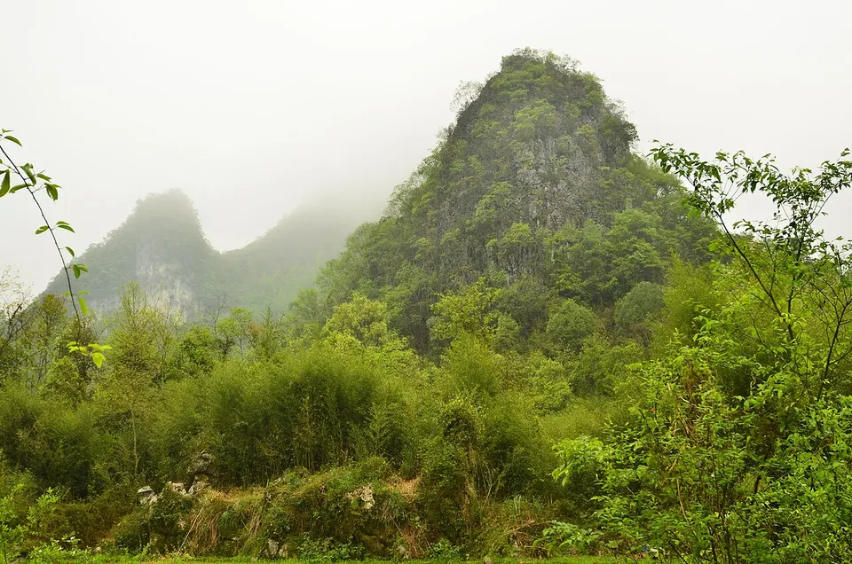
Qiannan, home to many Buyei, Miao and Shui people, runs south to the Guangxi border through forested karst. Near Libo, the Xiaoqikong and Daqikong areas of the Libo Zhangjiang Scenic Area string lakes, waterfalls and rapids along the Zhangjiang river and belong to the South China Karst World Heritage Site. In a karst bowl in Pingtang sits FAST, the world's largest single-dish radio telescope since its completion in 2016, and the hills around Duyun grow Duyun Maojian, one of China's famous green teas.
What to eat in Qiannan
- Duyun Maojian green tea (都匀毛尖)
Featured places in Qiannan
-
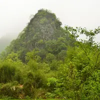
Libo Zhangjiang Scenic Area (Xiaoqikong and Daqikong) 荔波樟江景区
Emerald pools, stepped waterfalls and trees growing from water in a karst forest
-
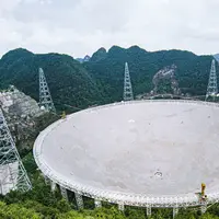
FAST Radio Telescope (China Sky Eye) 中国天眼
The world's largest single-dish radio telescope, set in a natural karst bowl
Listed sites in Qiannan
14 sites in Qiannan are on the official lists. Those with a page of their own link to it; the rest open as cards on the map.
- Caotang Old Town and Houchang Conference Site 草塘千年古邑(猴场会议旧址) 4A scenic area · National heritage site · on the map
Houchang, also called Caotang, is an old town in Weng'an developed as a tourism area; the prefecture lists some thirty sights there, including an opera tower, the former Qishan Academy and a jinshi (scholar) tower. - Duyun Tea Culture and Film Town 都匀茶文化影视小镇 4A scenic area · on the map
A tea-themed and film-set area in Duyun's eastern development zone which the city's tourism list describes as made up of the Qin-Han Film City, the China Tea Culture Expo Park and a Republic-era themed town. - Fuquan Ancient City and City Wall 福泉古城 4A scenic area · National heritage site · on the map
The old walled town of Fuquan, whose Ming-dynasty city wall, begun in 1391 as an earth wall and rebuilt in stone about ten years later, ran for roughly 4.8 km with four gates. - Haohuahong Village, Huishui 好花红 4A scenic area · on the map
A rural tourism area of about 5 sq km beside the Lianjiang river in Huishui, where Buyei people make up about 96% of residents. - Hongshui River Scenic Area, Luodian 罗甸红水河景区 4A scenic area · on the map
A purpose-built riverside leisure area on a reservoir of the Hongshui River at Hongshuihe town, on Guizhou's southern border with Guangxi, with a floating walkway of about 5 km as its centrepiece. - Jinhai Xueshan, Guiding 金海雪山 4A scenic area · on the map
A rural tourism area of about 19 sq km in Panjiang town, made up of 14 villages where about 95% of residents are Buyei. - Oil-Painting Grassland, Longli 龙里油画大草原 4A scenic area · on the map
A leisure park on a high mountain plateau in Longli, with grassland of around a thousand mu (about 67 hectares) and, in season, flower fields that include white azaleas. - Pingtang Sky Bridge 平塘天空之桥 4A scenic area
A highway service area turned destination beside Pingtang Bridge, a three-pylon cable-stayed bridge 2,135 m long whose tallest pylon is 332 m high, opened on 30 December 2019 across the Caodu river gorge. - Shanmu Lake Park, Duyun 杉木湖 4A scenic area · on the map
The central park at Shanmu Lake, a municipal park of about 80 hectares in Duyun's eastern new town, in the core of the Duyun Economic Development Zone. - Shenquan Valley, Changshun 神泉谷 4A scenic area · on the map
Shenquan Valley is a riverside leisure area of about 8.8 km along the Wuma river in Changshun, running from the Weiyuan tidal spring to the Qinglong pool. - Tiandong Scenic Area, Dushan 独山天洞 4A scenic area · on the map
A themed leisure park in Jichang town, Dushan, built around Tiandong, a limestone cave where coloured lights pick out the stalactites, and Duxiu peak, which visitors can climb for views over the surrounding area. - Wushan Gorge, Shuanglong Town 双龙镇巫山峡谷 4A scenic area · on the map
A gorge leisure area at Shuanglong in Longli, between two reservoirs, with rock paintings on its cliffs and a newly built courtyard-style town beside it. - Yaoshan Ancient Village, Libo 瑶山古寨 4A scenic area · on the map
A village area of about 3.6 sq km in Yaoshan Yao township, described by the prefecture as a main settlement of the Baiku ('white-trousers') Yao, a name from the knee-length white trousers men traditionally wear. - Gejing Bridge, Fuquan 葛镜桥 National heritage site · on the map
A three-arch stone bridge across the Maha river, begun in 1618 and finished after about thirty years, paid for with donations raised by a local man, Ge Jing.
On the map
Open Qiannan on the illustrated map to see its outline, its places and listed sites together, and to add them to a trip.
Open Qiannan on the map