 Atlas of China
Fuxin 阜新Fùxīn
Coal, agate and a Tibetan Buddhist monastery in a Mongol autonomous county
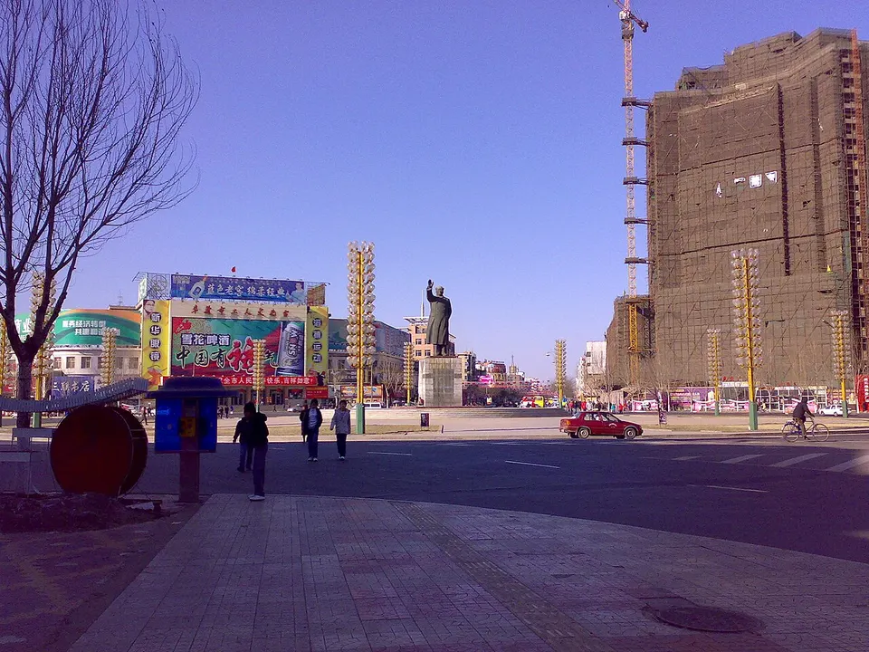
About Fuxin
Fuxin, on the border with Inner Mongolia, grew as a coal city around the Haizhou open-pit mine, now a national mining park, and it is a major centre for working agate. The Fuxin Miners' Mass Graves Memorial Hall shows remains of miners who died under Japanese-run companies. In the Mongol autonomous county, Ruiying Temple is a working Tibetan Buddhist monastery founded in 1669, and the Chahai site museum stands beside a village settled about 8,000 years ago.
What to eat in Fuxin
- Mongoljin meat pie (蒙古勒津馅饼)
- Zhangwu Shaquan fish feast (彰武沙泉鱼宴)
- Lama cake (喇嘛糕)
Listed sites in Fuxin
10 sites in Fuxin are on the official lists. Those with a page of their own link to it; the rest open as cards on the map.
- Baodi Spa Hot Spring Resort 宝地斯帕温泉 4A scenic area · on the map
A hot-spring resort town in Dongliang town, south-west of Fuxin, whose spring water is drawn from a well about 1,888 m deep at 82 °C and described by the provincial tourism page as a sodium bicarbonate spring. - Deligeer Grassland Scenic Area, Zhangwu 德力格尔草原 4A scenic area · on the map
A lakeshore leisure area of about 800 mu (53 ha) on Deligeer Lake in Zhangwu county, where the provincial tourism page says lake, island, wetland, grassland and sand lie side by side. - Fuxin Miners' Mass Graves Memorial Hall 阜新万人坑死难矿工纪念馆 4A scenic area · National heritage site · on the map
A memorial and museum on the site of the mass graves of miners who died in the Fuxin coalfield while it was run by Japanese-controlled companies, from the 1930s to 1945; official figures put the number buried in the city's graves at about 70,000. - Haitangshan Scenic Area 海棠山 4A scenic area · on the map
A mountain of old pines and rock outcrops in Daban town, Fuxin Mongol Autonomous County, protected as a national nature reserve and forest park, with a main peak of 715.4 m. - Huangjiagou Resort, Fuxin 黄家沟 4A scenic area · on the map
A four-season leisure resort in Sihe town, Xihe District, which the provincial tourism page describes as set among a hill, two rivers, nine lakes and about 1,000 mu (67 ha) of pine woods. - Ruiying Temple 瑞应寺 4A scenic area · on the map
A working Gelug-school Tibetan Buddhist monastery in Fosi town, Fuxin Mongol Autonomous County, founded in 1669 and named by the Kangxi emperor in 1703, and long the seat of the Chagan Diancheqi line of incarnate lamas. - Wulanmutu Mountain 乌兰木图山 4A scenic area · on the map
A mountain scenic area of about 30 sq km in Bajiazi town, Fuxin Mongol Autonomous County, whose main peak, at 831.4 m, is the highest in Fuxin prefecture. - Chahai Neolithic Site and Museum 查海遗址 National heritage site · on the map
A Neolithic settlement about 8,000 years old (radiocarbon-dated), excavated in seven seasons between 1986 and 1994 over nearly 7,800 sq m, which revealed house foundations, storage pits, a ritual pit and a dragon-shaped arrangement of stones about 20 m long. - Dongtashan Pagoda 东塔山塔 National heritage site · on the map
A Liao-dynasty brick pagoda standing on a wooded hillside in Hongmaozi town, Fuxin Mongol Autonomous County, octagonal with close-set storeys of eaves and niches, imitation timber brackets and relief carving on its body. - Tayingzi Pagoda 塔营子塔 National heritage site · on the map
A Liao-dynasty brick pagoda 32 m high, octagonal with 13 close-set storeys of eaves, standing near the middle of the old Yizhou city site at Tayingzi village, and also called the Baoyan Temple Pagoda.
On the map
Open Fuxin on the illustrated map to see its outline, its places and listed sites together, and to add them to a trip.
Open Fuxin on the map