
 An illustrated travel map
Lhünzhub 林周Línzhōu
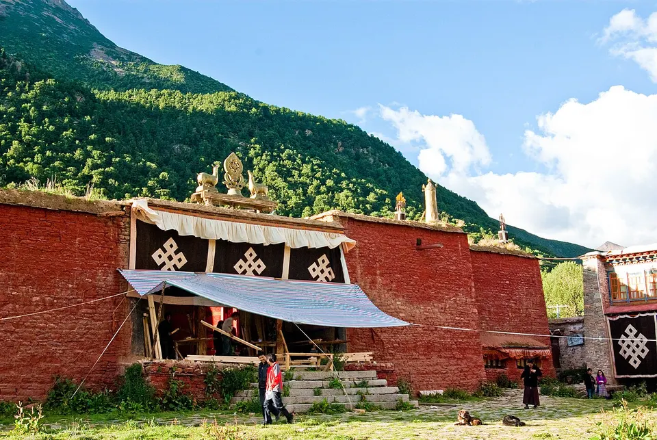
Reting Monastery, founded in 1057, and a farming valley north-east of Lhasa
About Lhünzhub
Lhünzhub lies north-east of central Lhasa. The Pengbo river valley in the south is fertile farmland, while the colder, more mountainous north is grazing country. The best known of its many monasteries is Reting Monastery, founded in 1057 by Dromtön, chief disciple of the Indian teacher Atiśa, and later an important Gelug monastery at the foot of a mountain in Tanggu. It was damaged in the 1960s and only partly restored. Foreign visitors need the Tibet Travel Permit and a licensed guide.
Getting to Lhasa
Train, flight and driving times from the cities most visitors come from, with stations, fares and how many run a day; each opens the full comparison.
- Shigatse 日喀则 high-speed train 2 h 4 min, 3 a day, from ¥64
- Nyingchi 林芝 high-speed train 4 h 4 min, 2 a day, from ¥129
- Chengdu 成都 train 34 h 38 min, 1 a day, from ¥303; 27 nonstop flights a day, 2 h 35 min in the air
- Xining 西宁 train 20 h 31 min, 5 a day, from ¥224; 3 nonstop flights a day, 2 h in the air
On the map
Open Lhünzhub on the illustrated map to see its outline, its places and listed sites together, and to add them to a trip.
Open Lhünzhub on the map