
 An illustrated travel map
Maizhokunggar 墨竹工卡Mòzhúgōngkǎ
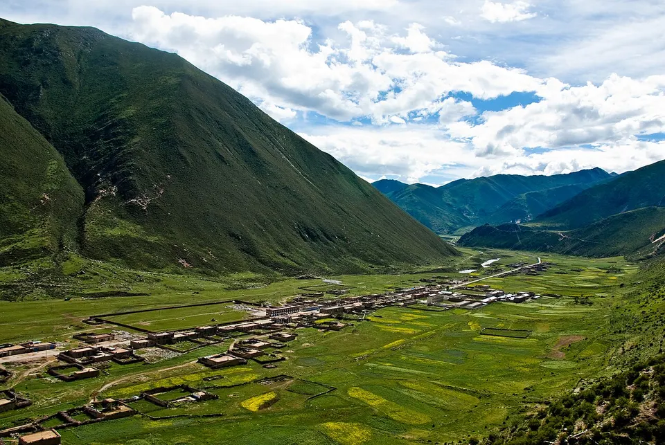
Drigung Til Monastery, founded in 1179, and hot springs on the upper Lhasa River
- Type
- County
- City
- Lhasa
- Region
- Tibet
- Intangible heritage
- 5 items on the national list
About Maizhokunggar
Maizhokunggar is a high county east of Lhasa, about 68 kilometres away, on the middle and upper Lhasa River, averaging more than 4,000 metres in elevation. Most people farm or herd. Its best-known sight is Drigung Til Monastery in Menba township, founded in 1179 as the head monastery of the Drigung Kagyu school and rebuilt after destruction following 1959. The county also has hot springs. Foreign visitors need the Tibet Travel Permit and a licensed guide.
Intangible heritage in Maizhokunggar
5 items on China's national list of intangible cultural heritage are filed for Maizhokunggar.
- Traditional music: Buddhist music (Drikung Kagyu)
- Traditional dance: Cham dance (Zhigong Gar cham), Xuan dance (Pudui Ba)
- Traditional art: Tibetan thangka painting (Mozhugongka Zhigong embroidered thangka)
- Traditional craftsmanship: Tibetan incense making
Getting to Lhasa
Train, flight and driving times from the cities most visitors come from, with stations, fares and how many run a day; each opens the full comparison.
- Shigatse 日喀则 high-speed train 2 h 4 min, 3 a day, from ¥64
- Nyingchi 林芝 high-speed train 4 h 4 min, 2 a day, from ¥129
- Chengdu 成都 train 34 h 38 min, 1 a day, from ¥303; 27 nonstop flights a day, 2 h 35 min in the air
- Xining 西宁 train 20 h 31 min, 5 a day, from ¥224; 3 nonstop flights a day, 2 h in the air
On the map
Open Maizhokunggar on the illustrated map to see its outline, its places and listed sites together, and to add them to a trip.
Open Maizhokunggar on the map