
 An illustrated travel map
Dongchuan 东川Dōngchuān
Copper-mining district with a famous red-earth landscape
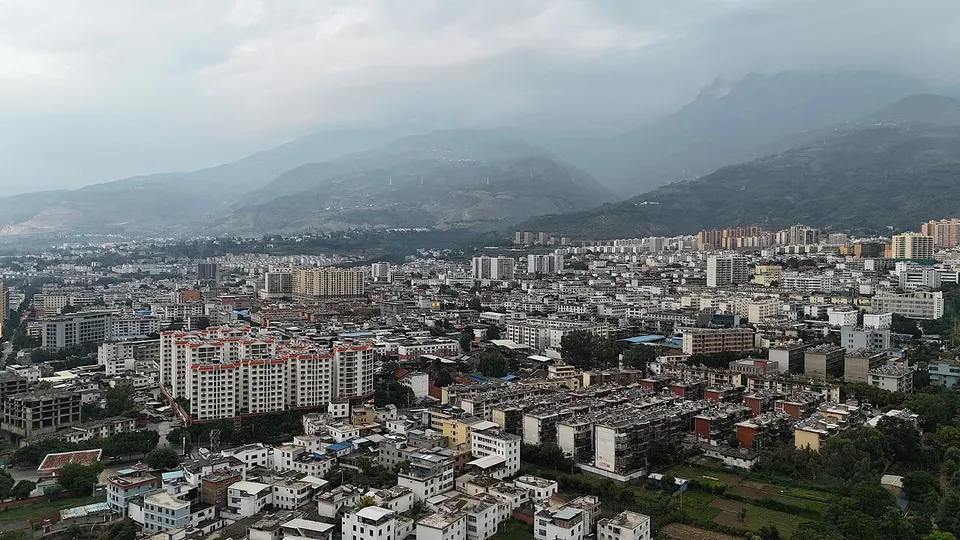
About Dongchuan
Dongchuan lies about 140 km north-east of Kunming's urban core, high on the plateau where iron-rich soil turns the hillsides a deep red. The Dongchuan Red Land, a patchwork of red fields and slopes, has long drawn photographers from China and abroad. The district grew up around copper mining, became a city in its own right in 1958 and was folded into Kunming as a district in 1998.
Featured places in Dongchuan
-
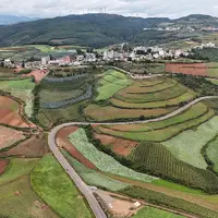
Dongchuan Red Land 东川红土地
Hills of brick-red soil patched with green, gold and white crops like a giant quilt
Getting to Kunming
Train, flight and driving times from the cities most visitors come from, with stations, fares and how many run a day; each opens the full comparison.
- Jianshui 建水 high-speed train 1 h 46 min, 7 a day, from ¥51
- Dali 大理 high-speed train 1 h 55 min, 55 a day, from ¥109; one nonstop flight a day, 1 h 10 min in the air
- Lijiang 丽江 high-speed train 3 h 29 min, 9 a day, from ¥190; 2 nonstop flights a day, 1 h in the air
- Jinghong 景洪 high-speed train 3 h 8 min, 25 a day, from ¥219; 5 nonstop flights a day, 1 h 10 min in the air
- Shangri-La 香格里拉 high-speed train 4 h 45 min, 4 a day, from ¥260; 3 nonstop flights a day, 1 h 20 min in the air
- Guiyang 贵阳 high-speed train 2 h 24 min, 61 a day, from ¥213
- Chongqing 重庆 high-speed train 4 h 51 min, 17 a day, from ¥342; 8 nonstop flights a day, 1 h 30 min in the air
- Chengdu 成都 high-speed train 5 h 51 min, 24 a day, from ¥527; 21 nonstop flights a day, 1 h 25 min in the air
- Guilin 桂林 high-speed train 4 h 28 min, 8 a day, from ¥425
- Haikou 海口 no direct train; 8 nonstop flights a day, 1 h 50 min in the air
- Sanya 三亚 no direct train; 3 nonstop flights a day, 2 h 5 min in the air
- Changsha 长沙 high-speed train 5 h 24 min, 22 a day, from ¥499; 9 nonstop flights a day, 2 h 5 min in the air
- Guangzhou 广州 high-speed train 6 h 40 min, 21 a day, from ¥647; 19 nonstop flights a day, 2 h 35 min in the air
- Hong Kong 香港 high-speed train 7 h 38 min, 1 a day, from ¥862; 3 nonstop flights a day, 2 h 35 min in the air
- Shanghai 上海 high-speed train 9 h 35 min, 4 a day, from ¥956; 24 nonstop flights a day, 3 h 35 min in the air
On the map
Open Dongchuan on the illustrated map to see its outline, its places and listed sites together, and to add them to a trip.
Open Dongchuan on the map