 Atlas of China
Guanzhai Mountain 冠豸山Guànzhài Shān
5A scenic area · Longyan, Fujian
- Time needed
- Half a day to 1 day
- Days to budget
- 1 day
- City
- Longyan
- Region
- Fujian
- Type
- Nature
- Listed as
- 5A scenic area
About Guanzhai Mountain
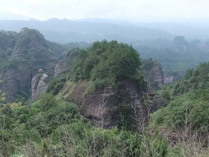
A cluster of sheer cliffs and rock pillars rising straight out of the plain just east of Liancheng town, named after a boulder said to resemble the head of the xiezhi, a mythical horned beast. The scenic area is split into several zones, including the main summit, Wulao Peak (661 m), Shimen Lake and the Zhu'an and Qishi stockades, and it was shortlisted as a national geopark in 2009. Liancheng's airport and railway station are both named after it.
How to get to Guanzhai Mountain
About 1.5 km east of Liancheng town, a short taxi ride from Guanzhaishan railway station or Liancheng Guanzhaishan Airport.
Nearby
Also within 20 km: Peitian Ancient Village 培田古村 (20 km).
On the map
Open Guanzhai Mountain on the illustrated map to see the terrain around it and what else is close, and to add it to a trip.
Open Guanzhai Mountain on the map