 Atlas of China
Mount Heng 南岳衡山Nányuè Héng Shān
5A scenic area · National heritage site · Hengyang, Hunan
- Time needed
- 1–2 days
- Days to budget
- 1½ days
- City
- Hengyang
- Region
- Hunan
- Type
- Nature
- Listed as
- 5A scenic area, National heritage site
About Mount Heng
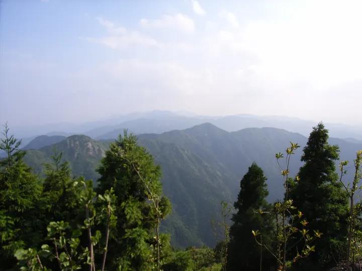
Mount Heng, the Southern Peak among China's Five Great Mountains, is a granite range counted as 72 peaks, whose highest point, Zhurong Peak, stands at about 1,300 m above Nanyue town. Long a centre of both Buddhism and Taoism, its slopes hold temples such as Zhusheng, Fuyan and Shangfeng, and cliff inscriptions from the Southern and Northern dynasties to the Republican era are scattered over some 375 spots. The mountain is also a national nature reserve, with evergreen broadleaf forest giving way to dwarf forest and grassland above about 800 m.
How to get to Mount Heng
Nanyue town, at the foot of the mountain, is about an hour by road north of Hengyang; scenic-area buses climb from the town most of the way up, the last stretch to Zhurong Peak is on foot, and the upper mountain closes in severe weather.
Nearby
Also within 20 km: Nanyue Martyrs' Shrine 南岳忠烈祠 (under 10 km), Grand Temple of Mount Heng 南岳大庙 (under 10 km), Zijin Mountain 紫金山 (20 km), Goulou Peak 岣嵝峰 (20 km).
On the map
Open Mount Heng on the illustrated map to see the terrain around it and what else is close, and to add it to a trip.
Open Mount Heng on the map