
 An illustrated travel map
Taijiang National Park 台江国家公园Táijiāng Guójiā Gōngyuán
Tainan, Taiwan
- Time needed
- Half a day
- Days to budget
- Half a day
- City
- Tainan
- Region
- Taiwan
- Type
- Nature
About Taijiang National Park
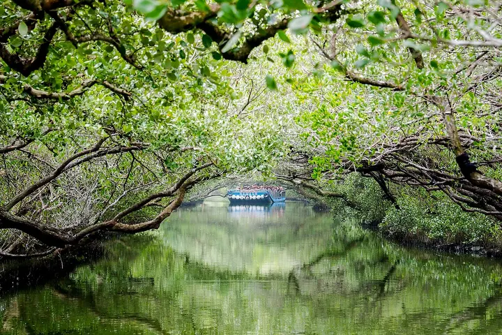
A national park on the west coast of Tainan, established in 2009, covering coast, fish ponds, salt flats, lagoons and wetlands together with a stretch of sea towards the Penghu waters. The name recalls the Taijiang Inland Sea, a lagoon that silted up during the eighteenth century. The wetlands are known for mangroves and for winter birds, including black-faced spoonbills.
How to get to Taijiang National Park
The park's management office is at Sicao, about 7.6 km west of Tainan railway station; the park itself spreads along the coast to the north and is easiest to explore by road.
Nearby
- Tainan Old City and Anping 台南古城与安平 under 10 km
Dutch forts, old temples, lantern-lit lanes and a snack on every corner - Fo Guang Shan 佛光山 40 km
A great Buddhist monastery, eight pagodas and a vast seated Buddha near Kaohsiung
Also within 20 km: Sicao Fortress 四草炮台 (under 10 km), Anping Small Fort 安平小炮台 (under 10 km), Anping Tree House 安平树屋 (under 10 km), Former Tait & Co. Merchant House 原英商德记洋行 (under 10 km), Fort Zeelandia 安平古堡 (under 10 km), Anping Tianhou Temple 安平天后宫 (under 10 km).
On the map
Open Taijiang National Park on the illustrated map to see the terrain around it and what else is close, and to add it to a trip.
Open Taijiang National Park on the map