 Atlas of China
Wudalianchi Volcanic Field 五大连池Wǔdàliánchí
5A scenic area · Heihe, Heilongjiang
- Time needed
- 1–2 days
- Days to budget
- 2 days
- City
- Heihe
- Region
- Heilongjiang
- Type
- Nature
- Listed as
- 5A scenic area
About Wudalianchi Volcanic Field
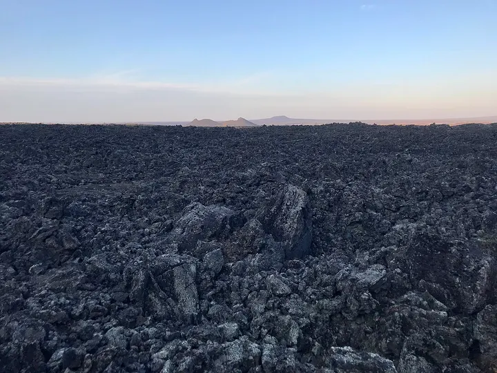
A volcanic landscape of 14 cones, the last of which erupted in 1719–21, spread over about 1,060 sq km at the foot of the Lesser Khingan range. Lava dammed a river to make five linked lakes, and the area also has fields of lava rock and cold mineral springs; it has been a UNESCO Global Geopark since 2004. Cones such as Laoheishan and the geopark museum are the main stops, and the spring water is a local draw.
How to get to Wudalianchi Volcanic Field
In Wudalianchi city around Wudalianchi town, about 23 km north of the city's urban area and roughly 190 km south-south-west of Heihe as the crow flies.
On the map
Open Wudalianchi Volcanic Field on the illustrated map to see the terrain around it and what else is close, and to add it to a trip.
Open Wudalianchi Volcanic Field on the map