
 An illustrated travel map
Jingxingkuang 井陉矿Jǐngxíngkuàng
A coal-mining enclave inside Jingxing County, with a Tang dynasty stone pillar
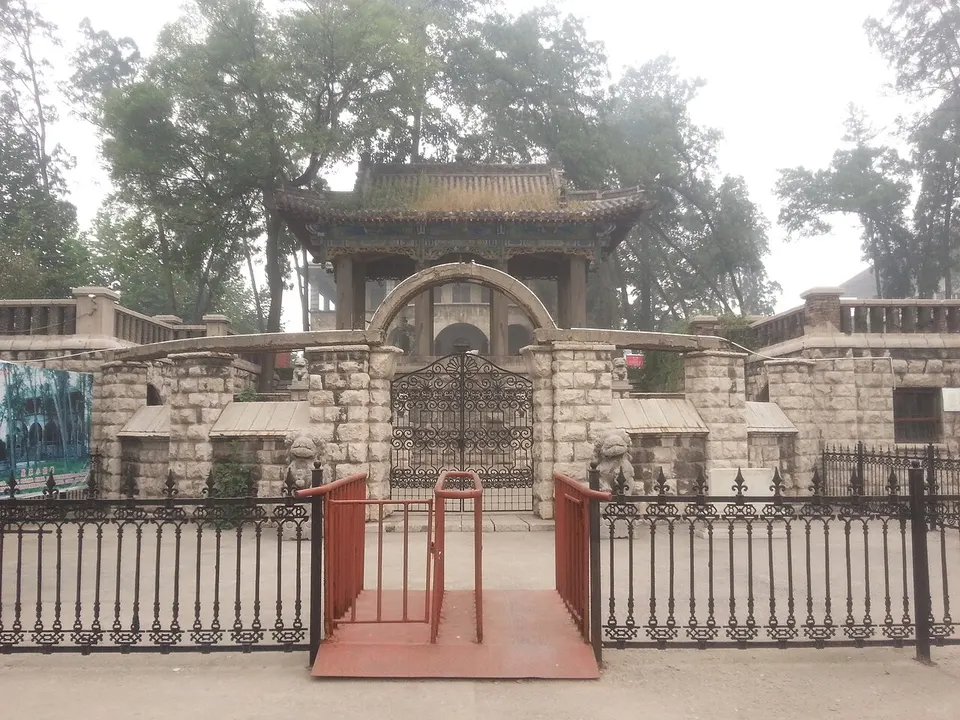
- Type
- District
- City
- Shijiazhuang
- Region
- Hebei
- Listed sites
- 22 national heritage
About Jingxingkuang
Jingxingkuang is a small district about 40 km west of central Shijiazhuang, an enclave inside Jingxing County built around coal mining. It was home to the Zhengfeng Coal Mining Company, well known in the Republican era, and the Zhengfeng Mine Industrial Buildings (Duanjialou), put up between 1906 and 1913, are protected today. Nearby stands the Tianhu Dharani Pillar, a Tang dynasty Buddhist column of carved stone. It is a working mining area rather than a scenic one.
Listed sites in Jingxingkuang
2 sites in Jingxingkuang are on the official lists. Those with a page of their own link to it; the rest open as cards on the map.
- Tianhu Dharani Pillar 天护陀罗尼经幢 National heritage site · on the map
A Tang-dynasty Buddhist sutra pillar dated by its inscription to 727, standing in the grounds of the former East Chan Temple in Tianhu village, on the site of the Tang town of Tianhu. - Zhengfeng Mine Industrial Buildings (Duanjialou) 正丰矿工业建筑群 National heritage site · on the map
The head office and staff housing of the Zhengfeng coal-mining company, built from 1913 to a German-led design after the mine was reorganised in 1912 with investment from the Beiyang general Duan Qirui; the complex is known locally as Duanjialou.
Getting to Shijiazhuang
Train, flight and driving times from the cities most visitors come from, with stations, fares and how many run a day; each opens the full comparison.
On the map
Open Jingxingkuang on the illustrated map to see its outline, its places and listed sites together, and to add them to a trip.
Open Jingxingkuang on the map