
 An illustrated travel map
Ergun 额尔古纳É’ěrgǔnà
River border, birch forest and China's only Russian ethnic township
- Type
- County-level City
- City
- Hulunbuir
- Region
- Inner Mongolia
- Listed sites
- 75 rated 4A · 1 national heritage
- Intangible heritage
- 1 item on the national list
About Ergun
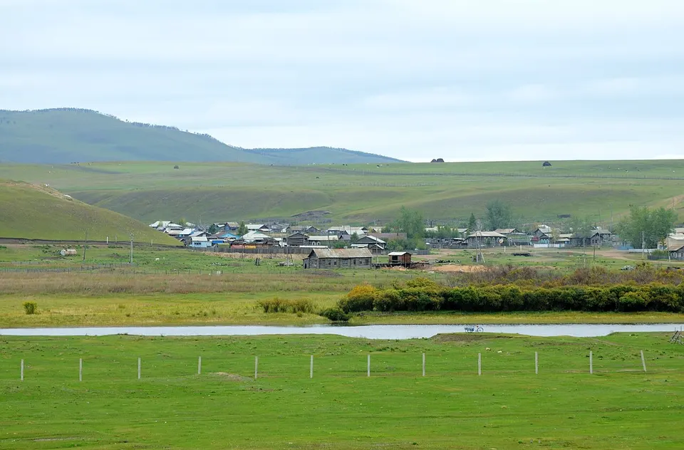
Ergun spreads across the north-western foot of the Greater Khingan range, bounded to the north and west by the Ergun River, which forms about 675 km of the border with Russia. About three-quarters of it is forest, reached through Moerdaoga National Forest Park, and a broad river wetland lies just west of the town. Heishantou City Ruins mark the fief of Qasar, a brother of Genghis Khan, and Enhe is the country's only Russian ethnic township.
Listed sites in Ergun
7 sites in Ergun are on the official lists. Those with a page of their own link to it; the rest open as cards on the map.
- Ergun National Wetland Park 额尔古纳国家湿地公园 4A scenic area · on the map
A river-wetland park in the Shangkuli area north-east of Ergun city, opened to visitors in 2018 and covering about 120 sq km, of which roughly 10 sq km is open to the public. - Ergun Wetland Scenic Area 额尔古纳湿地景区 4A scenic area · on the map
A hilltop viewing area on the edge of Ergun city, overlooking the winding channels of the wetland along the Genhe River and the town's blue and pink roofs. - Ergun White Birch Forest 额尔古纳白桦林 4A scenic area · on the map
A single-species stand of native white birch north of Ergun city, laid out with an elevated timber walkway and four themed zones for sightseeing and photography. - Moerdaoga National Forest Park 莫尔道嘎国家森林公园 4A scenic area · on the map
Moerdaoga was the first national forest park in the Inner Mongolia part of the Greater Khingan range, covering cold-temperate forest of larch and birch that turns orange and yellow in autumn. - Wulan Mountain, Ergun 额尔古纳乌兰山 4A scenic area · on the map
A hill scenic area of 4.7 sq km on open grassland in Heishantou town, with viewing platforms on the hill. - Heishantou City Ruins 黑山头城址 National heritage site · on the map
The earthen ramparts of a walled town of the Jin and Yuan periods survive on a terrace in the grassland near Heishantou, a large enclosure with a smaller walled compound at its centre. - Mongolian Origin (Mengwu Shiwei) Cultural Tourism Area 蒙古之源·蒙兀室韦文化旅游景区 on the map
A cultural tourism area at Mengwu Shiwei on the Ergun River, presenting the early history of the Mongols with rebuilt obo cairns and commemorative squares, with a Mongolian-medicine element added by its operator.
Intangible heritage in Ergun
1 item on China's national list of intangible cultural heritage is filed for Ergun.
- Folk customs: Russian Basike festival
Getting to Hulunbuir
Train, flight and driving times from the cities most visitors come from, with stations, fares and how many run a day; each opens the full comparison.
- Harbin 哈尔滨 to Hailar · train 9 h 19 min, 4 a day, from ¥102; one nonstop flight a day, 1 h 30 min in the air
On the map
Open Ergun on the illustrated map to see its outline, its places and listed sites together, and to add them to a trip.
Open Ergun on the map