
 An illustrated travel map
Datong 大通Dàtōng
Highland flower gardens and a folk-song mountain north of Xining
- Type
- Hui and Tu Autonomous County
- City
- Xining
- Region
- Qinghai
- Listed sites
- 22 rated 4A
- Intangible heritage
- 1 item on the national list1 UNESCO element
About Datong
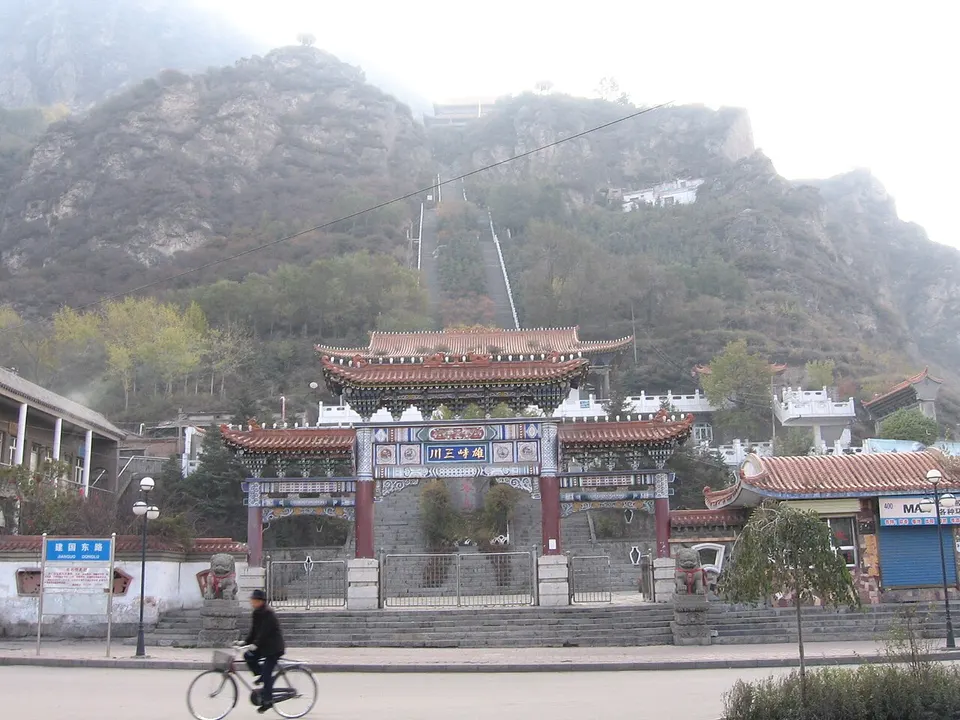
Datong is an autonomous county of the Hui and Tu peoples north of Xining, rising to 4,622 m towards the Qilian Mountains. Laoye Mountain, 2,928 m above the county seat Qiaotou, has small temples along its ascent and hosts the Huaer folk-song gathering each summer. Bianmagou Flower Sea, about 800 mu of lupins, irises and other plateau flowers at around 2,800 m, was planted by a village from about 2015.
Listed sites in Datong
2 sites in Datong are on the official lists. Those with a page of their own link to it; the rest open as cards on the map.
- Bianmagou Flower Sea 边麻沟花海 4A scenic area · on the map
A flower garden of about 800 mu (roughly 53 hectares) in Bianmagou village, Shuobei Tibetan township, Datong County, at an average height of about 2,800 m. - Laoye Mountain 老爷山 4A scenic area · on the map
A 2,928 m mountain above Qiaotou town, the seat of Datong Hui and Tu Autonomous County north of Xining, taking its name by tradition from a Guandi temple on its slopes, with other small temples along the ascent.
Intangible heritage in Datong
1 item on China's national list of intangible cultural heritage is filed for Datong. Part of UNESCO's lists: Hua'er.
- Traditional music: Hua'er (Laoyeshan song fair) UNESCO
Getting to Xining
Train, flight and driving times from the cities most visitors come from, with stations, fares and how many run a day; each opens the full comparison.
- Lanzhou 兰州 high-speed train 54 min, 67 a day, from ¥58
- Chengdu 成都 high-speed train 8 h 59 min, 7 a day, from ¥317; 5 nonstop flights a day, 1 h 35 min in the air
- Xi'an 西安 high-speed train 3 h 48 min, 43 a day, from ¥271; 4 nonstop flights a day, 1 h 40 min in the air
- Chongqing 重庆 high-speed train 9 h 3 min, 3 a day, from ¥308; 3 nonstop flights a day, 2 h 5 min in the air
- Lhasa 拉萨 train 20 h 31 min, 5 a day, from ¥224; 3 nonstop flights a day, 2 h in the air
On the map
Open Datong on the illustrated map to see its outline, its places and listed sites together, and to add them to a trip.
Open Datong on the map