
 An illustrated travel map
Burqin 布尔津Bù’ěrjīn
A deep Altai lake, Tuvan villages and a river town on the Irtysh
About Burqin
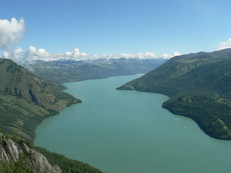
Burqin lies in Xinjiang's far north, its county seat where the Burqin River meets the Irtysh. In the north of the county, crescent-shaped Kanas Lake lies in a valley of the Altai Mountains, about 120 m deep on average; Tuvans, an old northern nomadic people, live in three villages around it, alongside Kazakhs. Frost can arrive as early as August. Nearer the county seat are the Sino-Russian Old Wharf Street and the colourful banks of Wucaitan, 24 km away.
Featured places in Burqin
-
Kanas Lake 喀纳斯湖
A milky-turquoise lake in the Altai forests that turns gold each autumn
Listed sites in Burqin
3 sites in Burqin are on the official lists. Those with a page of their own link to it; the rest open as cards on the map.
- Agonggaiti Grassland Stone Figures Park 阿贡盖提草原石人 4A scenic area · on the map
A Kazakh culture park on the Agonggaiti grassland beside the road from Burqin to Kanas, built around a group of ancient steppe stone figures and rock carvings left by early nomads. - Sino-Russian Old Wharf Street 中俄老码头风情街 4A scenic area · on the map
A riverside leisure quarter of about 20 hectares on the Irtysh in Burqin town, built around the old wharf of the Sino-Soviet river shipping that once ran on the Irtysh. - Wucaitan (Five-Colour Beach) 五彩滩 4A scenic area · on the map
A stretch of the north bank of the Irtysh 24 km from Burqin, where water and wind have carved the ground into multicoloured ridges, gullies and pinnacles, facing the green riverine woods on the far bank.
On the map
Open Burqin on the illustrated map to see its outline, its places and listed sites together, and to add them to a trip.
Open Burqin on the map