 Atlas of China
Xiaolangdi Dam Scenic Area 小浪底水利枢纽Xiǎolàngdǐ Shuǐlì Shūniǔ
4A scenic area · Luoyang, Henan
- Time needed
- Half a day
- Days to budget
- Half a day
- City
- Luoyang
- Region
- Henan
- Type
- Culture
- Listed as
- 4A scenic area
About Xiaolangdi Dam Scenic Area
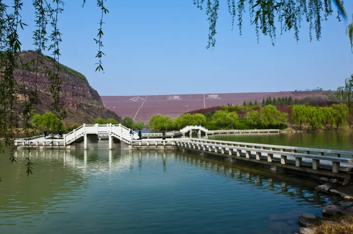
The visitor area at the south end of the Xiaolangdi Dam, the 154 m dam built across the Yellow River in 1994–2001 at the exit of its last gorge, mainly to control silt and floods. The main sight is the water-and-sediment flushing, usually run in early summer, when the outlet tunnels release jets of muddy water; in 2026 a viewing season ran from mid-June to early July.
How to get to Xiaolangdi Dam Scenic Area
On the south bank in Xiaolangdi town, Mengjin, about 40 km north of central Luoyang by road.
Nearby
- White Horse Temple 白马寺 30 km
China's first Buddhist temple, with Thai, Indian and Burmese halls beside it - Longmen Grottoes 龙门石窟 40 km
Some 100,000 Buddhas carved into riverside cliffs, watched over by a serene giant
Also within 20 km: Wanfoshan Grottoes 万佛山石窟 (20 km), Weipo Xinxu 魏坡·新序 (20 km).
On the map
Open Xiaolangdi Dam Scenic Area on the illustrated map to see the terrain around it and what else is close, and to add it to a trip.
Open Xiaolangdi Dam Scenic Area on the map