
 An illustrated travel map
Mashan 马山Mǎshān
Red-water river country, Zhuang and Yao villages and forested karst
- Type
- County
- City
- Nanning
- Region
- Guangxi
- Listed sites
- 33 rated 4A
- Intangible heritage
- 2 items on the national list
About Mashan
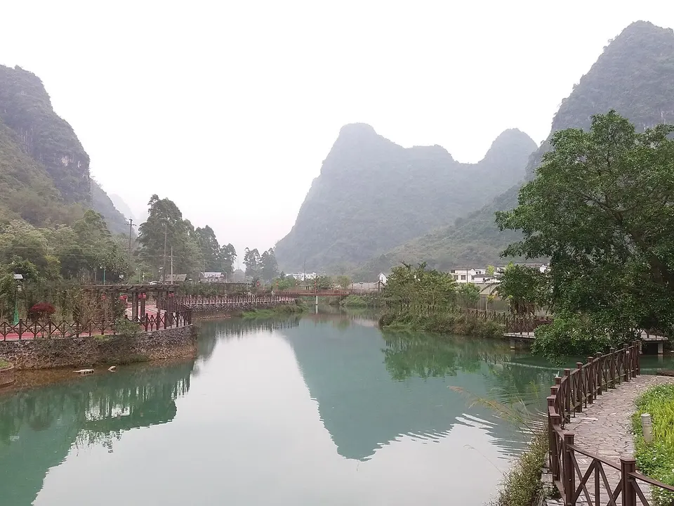
Mashan lies on the south bank of the Hongshui River, whose reddish-brown water takes its colour from the red rock it flows through. The county was formed in 1952 from two smaller counties and reaches into the Daming mountains. Its sights include Nongla, a forested limestone valley, and Xiaodubai, a Zhuang village known for its water wheels. Two townships are Yao, and the county has a national eco-civilisation designation.
Listed sites in Mashan
3 sites in Mashan are on the official lists. Those with a page of their own link to it; the rest open as cards on the map.
- Nongla Scenic Area 弄拉 4A scenic area · on the map
A hamlet in the karst peak-cluster hills of Guling town, Mashan County, whose villagers replanted the limestone hills around it after they were stripped of trees in the 1950s, and which is often cited as a model for reversing rocky desertification. - Shuijin Shunzhuang Scenic Area 水锦·顺庄 4A scenic area · on the map
A canyon resort area in Leping village, Guling town, ringed by the Daming Mountains, where the Shuijin stream runs through a natural gorge about 10 km long with waterfalls, spring pools and cascades. - Xiaodubai Village 小都百 4A scenic area · on the map
A rural tourism village in Qiaolao village, Guling town, beside the Mashan–Shanglin road, rebuilt with white-walled, grey-tiled houses in local Zhuang style and known as the 'home of waterwheels' for the wheels along its streams.
Intangible heritage in Mashan
2 items on China's national list of intangible cultural heritage are filed for Mashan.
- Traditional music: Polyphonic folk songs (Zhuang three-part songs)
- Folk customs: Zhuang assembly drum customs
Getting to Nanning
Train, flight and driving times from the cities most visitors come from, with stations, fares and how many run a day; each opens the full comparison.
On the map
Open Mashan on the illustrated map to see its outline, its places and listed sites together, and to add them to a trip.
Open Mashan on the map