 Atlas of China
Guangxi 广西Guǎngxī
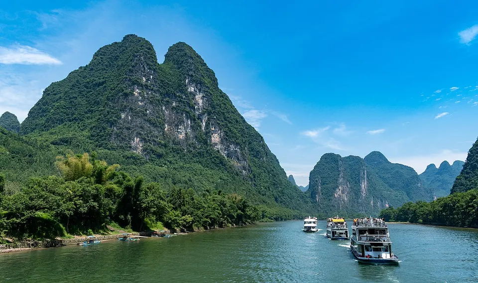
Karst peaks along the Li River, Zhuang song and rice terraces in the clouds
- Type
- Autonomous region
- Capital
- Nanning
- Featured places
- 5
- Cities and prefectures
- 14
- Listed sites
- 3496 rated 5A · 307 rated 4A · 66 national heritage
About Guangxi
Guangxi is limestone country, where the Li River winds between steep green karst peaks from Guilin to Yangshuo, a scene printed on China's 20-yuan banknote. In the northern hills, the Longji rice terraces climb the slopes in fine contour lines, tended by Zhuang and Yao villages. The Zhuang, China's largest ethnic minority, are known for their call-and-response folk singing, and in the far southwest the Detian waterfall spills across the border with Vietnam.
Guangxi at a glance
- Area
- 235,001 km²
- Population
- 50.1 million 2020
- Highest point
- Mount Kitten 猫儿山2,142 m
Area, population and highest point from Wikidata; the population is the latest census or official estimate there.
What to eat in Guangxi
- Luosifen river-snail rice noodles (螺蛳粉)
- Guilin rice noodles (桂林米粉)
- Yangshuo beer fish (啤酒鱼)
Places to visit in Guangxi
-
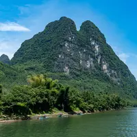
Li River & Yangshuo 漓江与阳朔
Limestone peaks, bamboo rafts and bike rides through rice paddies
-
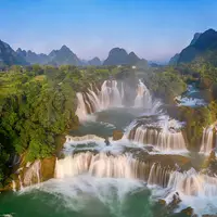
Detian Waterfall 德天瀑布
A broad, tiered waterfall spilling across the border between China and Vietnam
-
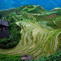
Longji Rice Terraces 龙脊梯田
Rice paddies stacked up the mountains like the scales on a dragon's back
-
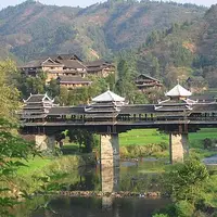
Chengyang Eight Villages 程阳八寨
Dong villages of timber drum towers and a covered bridge, set among paddy fields
-
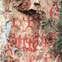
Zuojiang Huashan Rock Art 花山岩画
About 1,900 red figures painted on a sheer cliff above the Ming River
Listed sites in Guangxi
349 sites in Guangxi are on the official lists, 6 of them rated 5A and 66 protected as national heritage. They are listed by city, with what each is and how to get there.
All 349 listed sites in GuangxiCities and prefectures of Guangxi
- Baise 百色 City
Sinkholes 600 metres deep in the Zhuang karst of Guangxi's far west - Beihai 北海 City
Silk Road tombs, treaty-port consulates and a volcanic island offshore - Chongzuo 崇左 City
Red cliff paintings, rare white-headed langurs and a waterfall on the frontier - Fangchenggang 防城港 City
Ha songs, a one-string zither and beaches on the Vietnamese border - Guigang 贵港 City
Lotus ponds, a Buddhist tea hill and the village where the Taiping rose - Guilin 桂林 City
Limestone towers, slow river boats and hillsides carved into rice terraces - Hechi 河池 City
Karst gorges, a legendary singer and the homelands of the Maonan and Mulao - Hezhou 贺州 City
Ming lanes under karst peaks, Yao covered bridges and Hakka walled houses - Laibin 来宾 City
Yao mountain villages and the Ming-era hall of a chieftain clan - Liuzhou 柳州 City
Pungent snail noodles, a looping river and the covered bridges of the Dong - Nanning 南宁 City
A leafy capital of Zhuang folk song, jasmine tea and sour-spicy noodles - Qinzhou 钦州 City
White dolphins, Black Flag generals and a new canal to the sea - Wuzhou 梧州 City
Flood-ready arcades, a river goddess and dark tea that improves with age - Yulin 玉林 City
A nail-free Ming tower whose inner pillars stop short of the floor
Before you go
- Visas and visa-free entry Can I visit China without a visa?
- Paying for things How do I pay for things in China without a Chinese bank account?
- Internet and apps Will Google and my other apps work in China?
- Trains and 12306 How do I book train tickets in China with a foreign passport?
- Book popular sights early Which sights in China need booking in advance, and how?
- When to go When is the best time to visit China?
On the map
Open Guangxi on the illustrated map to see where its places sit, how far apart they are, and to add them to a trip.
Open Guangxi on the map