 Atlas of China
Haibei 海北Hǎiběi
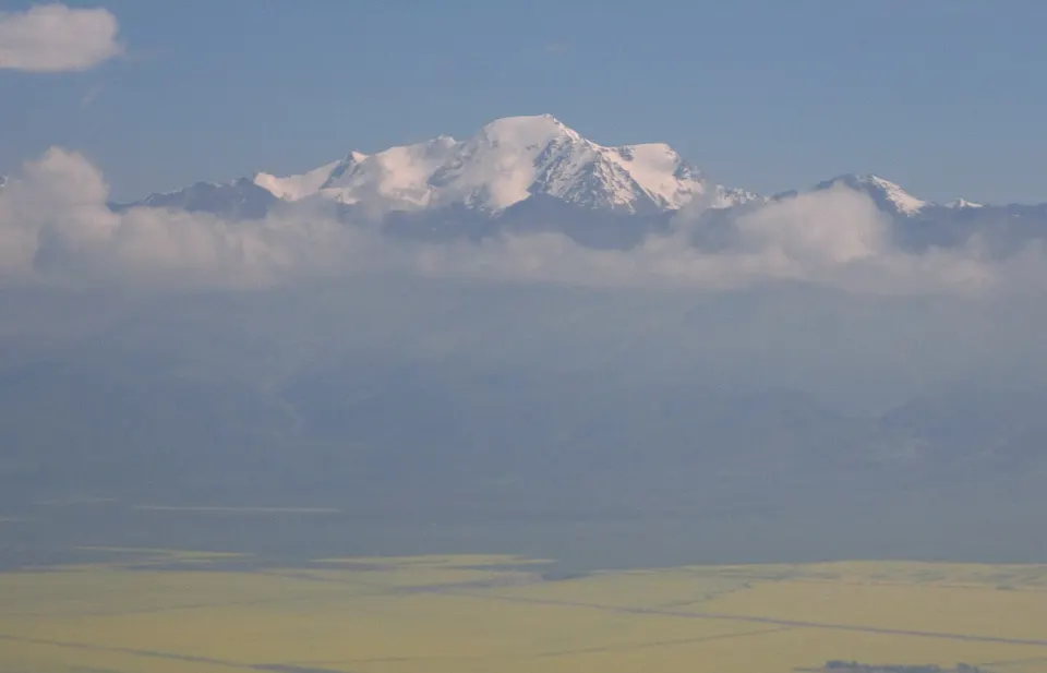
Lakeside pastures, July rapeseed gold and the Qilian snow peaks
- Type
- Tibetan Autonomous Prefecture
- Region
- Qinghai
- Seat
- Xihai
- Featured places
- 1
- Listed sites
- 101 rated 5A · 8 rated 4A · 2 national heritage
About Haibei
Haibei, 'north of the lake', takes in the northern shore of Qinghai Lake, China's largest lake, with grassland above 3,000 metres and the snow peaks of the Qilian Mountains behind. In July the Menyuan valley turns yellow with rapeseed flowers, while 5,254-metre Gangshika Peak rises to the north. Around Xihai, the prefecture seat, lie a Han-dynasty city site and Atomic City, the former Plant 221, China's first nuclear weapons research base, built from the late 1950s.
Featured places in Haibei
-
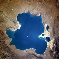
Qinghai Lake 青海湖
China's largest lake: a high-altitude inland sea edged with yellow rapeseed
Listed sites in Haibei
10 sites in Haibei are on the official lists. Those with a page of their own link to it; the rest open as cards on the map.
- Amidongsuo (Niuxin Mountain) 阿咪东索 5A scenic area · on the map
Amidongsuo is the mountain also called Niuxin ('Ox Heart') Mountain, a peak that local Tibetans hold sacred, rising south of Qilian town in the middle Qilian Mountains. - Atomic City (Plant 221 Site), Haiyan 原子城 4A scenic area · National heritage site
Atomic City is the former site of Plant 221, China's first nuclear weapons research and production base, set up from 1958 on the Jinyintan grassland north-east of Qinghai Lake, where state accounts say the country's first atomic and hydrogen bombs were developed. - Dayu Folk Village, Haiyan 达玉民俗村 4A scenic area · on the map
Dayu Folk Village is a privately run Tibetan folk-culture park at Jinyintan near Xihai town, named after the Dayu tribe of the Qinghai Lake area. - Gangcha Tibetan Lakeside Town 高原海滨藏城 4A scenic area · on the map
Gangcha is the county town north of Qinghai Lake, rebuilt in Tibetan style and promoted as the 'Plateau Seaside Tibetan City'. - Gangshika Peak 岗什卡雪峰 4A scenic area
Gangshika is the highest peak of the eastern Qilian Mountains, a glaciated mountain of 5,254.5 m in Menyuan County that climbers often treat as a first snow mountain, because the approach is gradual and it lies under 160 km from Xining. - Menyuan Rapeseed Flower Fields 门源百里油菜花海 4A scenic area · on the map
The valley floor at Menyuan is farmed with rapeseed, which turns it yellow against the surrounding mountains in July. - Qilian Mountain Eco-Ranch, Menyuan 祁连山生态牧场 4A scenic area · on the map
The Qilian Mountain Eco-Ranch is a commercial grassland park in the Menyuan valley, developed from 2016 by a private tourism company, with its first phase opened in June 2017. - Wenjia Ranch, Haiyan 文迦牧场 4A scenic area · on the map
Wenjia Ranch is a privately run grassland resort near the east shore of Qinghai Lake in Haiyan County, begun in 2017 by a team of university graduates with a few rented tents and set up as a company in 2019. - Zhuoer Mountain, Qilian 卓尔山 4A scenic area · on the map
Zhuoer Mountain is a ridge of red sandstone and conglomerate (Danxia landform) on the north bank of the Bayi River, with a summit at about 2,930 m that serves as a viewing platform over the town, the river and Amidongsuo to the south. - Xihai Commandery City Site, Haiyan 西海郡故城 National heritage site · on the map
These are the remains of the commandery city that the regent Wang Mang set up in about 4 CE at the end of the Western Han, with trapezoid earth walls about 600 m across that still stand 4–12 m high.
On the map
Open Haibei on the illustrated map to see its outline, its places and listed sites together, and to add them to a trip.
Open Haibei on the map